SPATIAL ANALYSIS · MAPPING · DECISION SUPPORT
Good decisions
start with where.
I’m Chika, a geospatial analyst turning location data into clear insights for people, places and the environment.
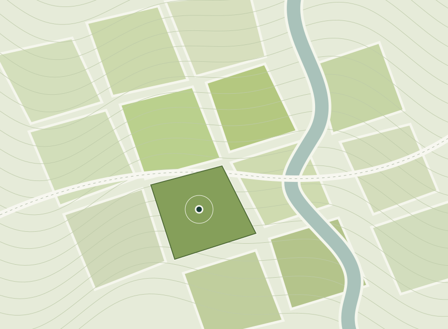 Explore the contextFind the possibilities ↗
Site suitability ✳ Infrastructure planning ✳ Terrain modelling ✳ Database management
SELECTED WORK
From spatial questions
to useful answers.
Explore the problem, follow the analysis,
and see what the evidence revealed.
Showing all 3 projects.
No matches found
Try a skill or tool such as “Python” or “ArcGIS”, or clear your search and filters.
Project summaries draw on my supplied project details and CVs. Visuals are explanatory illustrations; original GIS map exports are not yet attached.
ABOUT ME
Accurate data.
Carefully checked results.

I bring care, precision and a commitment to excellence to every GIS task.
I prepare and check spatial data, analyse locations and produce maps that explain the results clearly. My work covers site selection, infrastructure routing, terrain modelling and flood-risk mapping.
For me, excellent work means accurate data, clearly explained methods and results that are checked before delivery. I review my maps and analysis for errors and make sure each output answers the question it was created to address.
University of Portsmouth · Distinction
University of Ibadan · Second Class Upper Division
Geospatial Analyst
GIS Konsult Ltd · 2021–2024
THE TOOLKIT
A method for
every question.
Tools matter. Choosing the right approach
is what makes the analysis useful.
Analyse & model
Site suitability, constraint modelling, raster analysis and terrain interpolation.
Prepare & validate
Spatial data integration, attribute validation, coordinate systems and topology checks.
Map & communicate
Cartographic outputs, hosted spatial datasets and field-data collection.
LET’S CONNECT
London, United KingdomHave a spatial challenge?
Let’s talk.
For GIS and geospatial opportunities, project conversations
or a closer look at my work, get in touch.
chikaakwarandup@gmail.com